
Great view over the mountain range to the north of Reykjavík on a mountain hill that is about 200 meters high. About 1500 meter walk, with 150 meters elevation change, from the parking spot that takes 20-30 minutes to walk at a moderate pace.

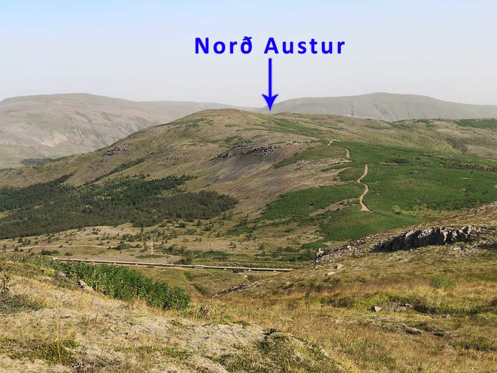
Seen here from Helgafell, the path we take is seen going up the ridge on the right side of the picture through the green.
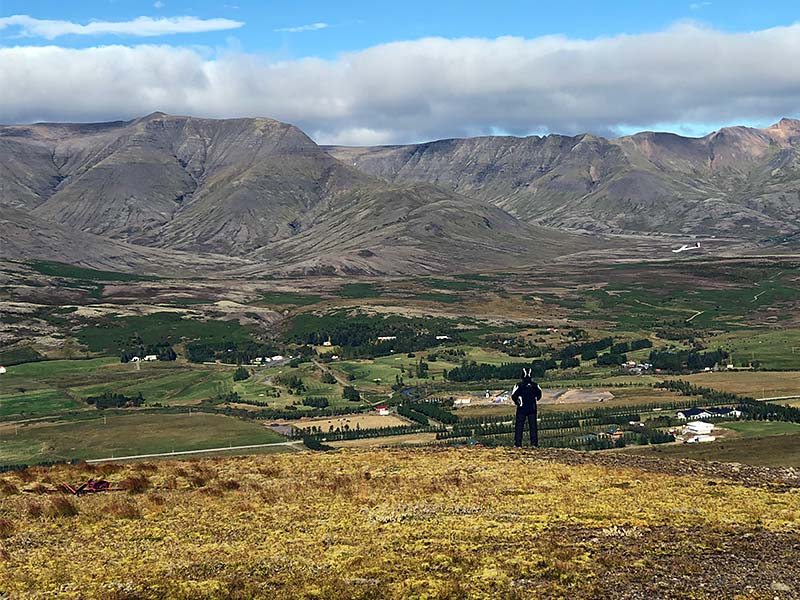
The view from the top is quite good!

Directions
You drive on Road 1 to the North (Akureyri) but when you are leaving Mosfellsbær you take a right turn on to Road 36 to Þingvellir. Drive around 1.6 km on that road until you get to the second exit on your right where you turn off Road 36 where a blue sign with yellow letters says “Hlaðgerðarkot”.

After about 900 meters you take a sharp right turn and drive for about 500 meters more until you see a gravel area on your left next to a large waterpipe raised above the ground. That is our parking spot, it isn’t big so try to park tightly and make sure you don’t close the road! Its coordinates are 64.171479,-21.6335053 or 64°10’17.3244″, -021°38’00.6191″ .
After getting your model gear out of the car you need to walk up the ridge to the flying spot. It’s about 1500 meters with an ascend of about 150 meters, so it can take 20-30 minutes to walk it so make sure you don’t forget something in your car!
