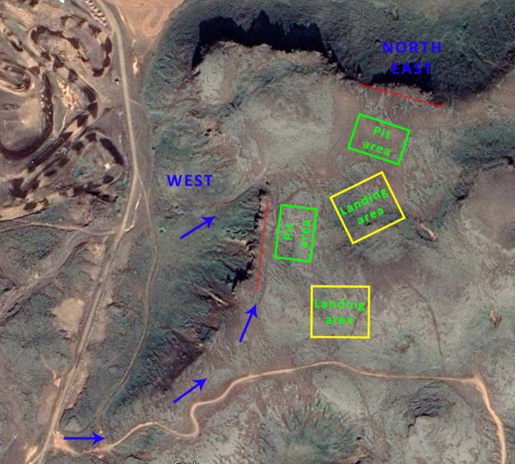
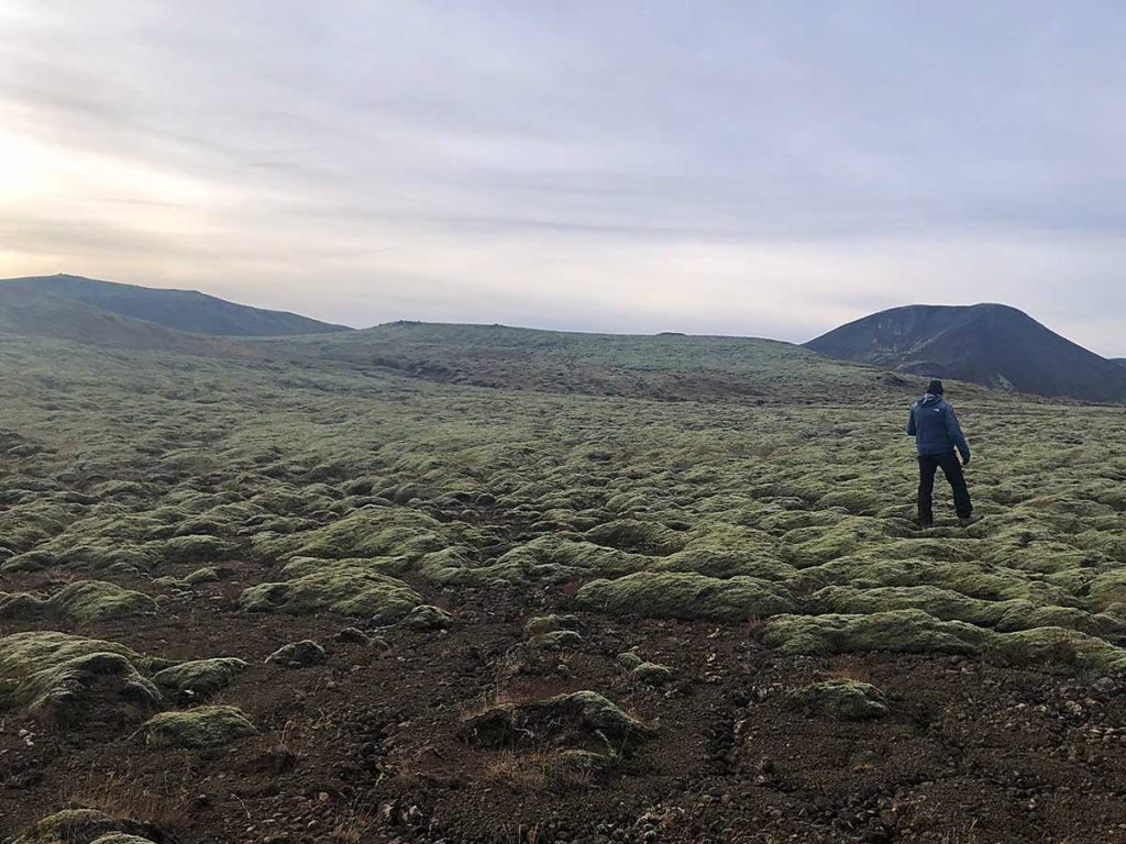
The North slope overlooks highway 1 and is about 40 meters high. The West slope overlooks a motorcross track and is about 35 meters high. About 5-10 minutes walk depending on which slope we’re flying on.
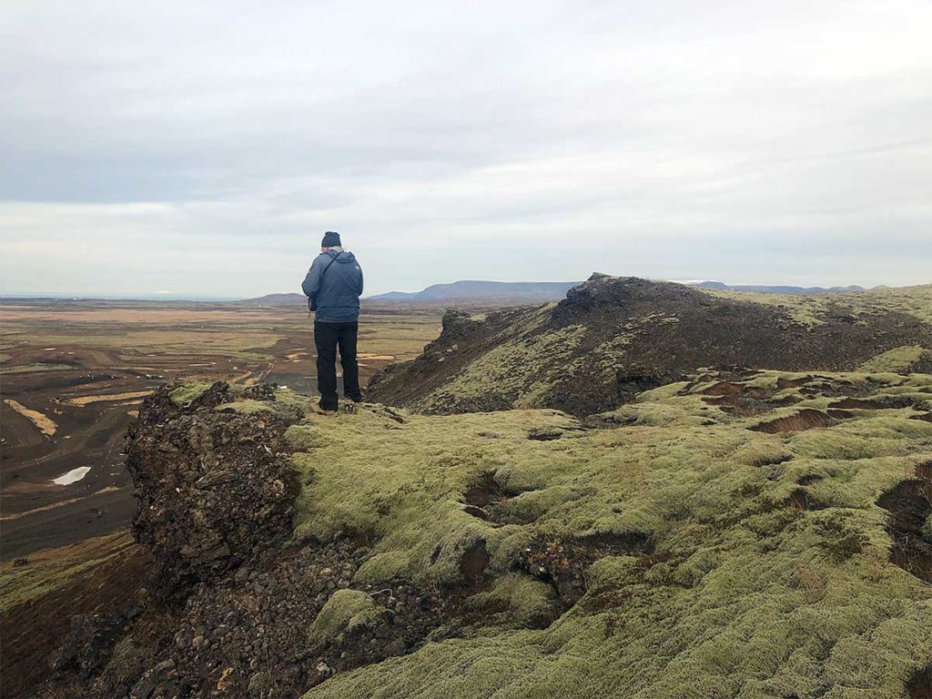
Here we look to NW from the west slope.
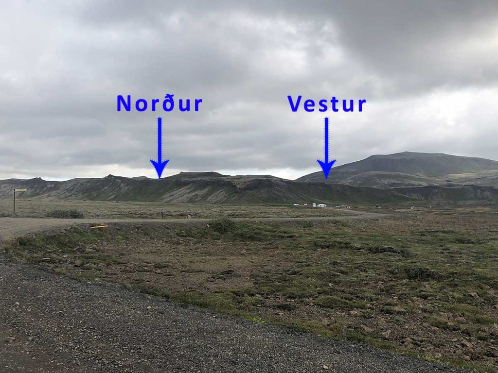
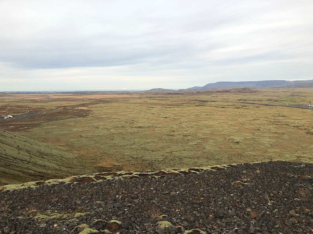
Here we look to N from the north slope.
The landing area is huge for both slopes.
Flying on the north slope.
Flying on the west slope.
Directions
You drive out of Reykjavik on highway 1 to Hveragerði and you turn off the road to your right when you reach these coordinates 64.0592831,-21.537732 or 64°03’33.4192″, -021°32’15.8352″. You’ll also see a sign that reads: Jósepsdalur 5 Bolaöldur 1

Following that you take the first exit to the left and drive straight on until the gravel road turns right into the motorcross parking lot. Please park away from the main pit, closer to highway 1.
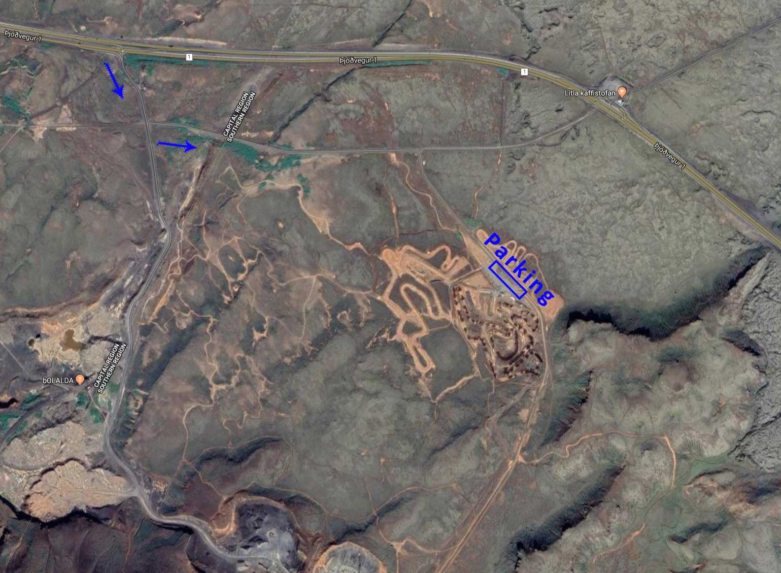
There are two ways to go up the slope, we highly recommend you take the one shown on the bottom left! It’s possible to drive part way up the hill on a well equiped 4×4 car with good ground clearance (20+ cm) but then only to drop of gliders and people, no parking up there!